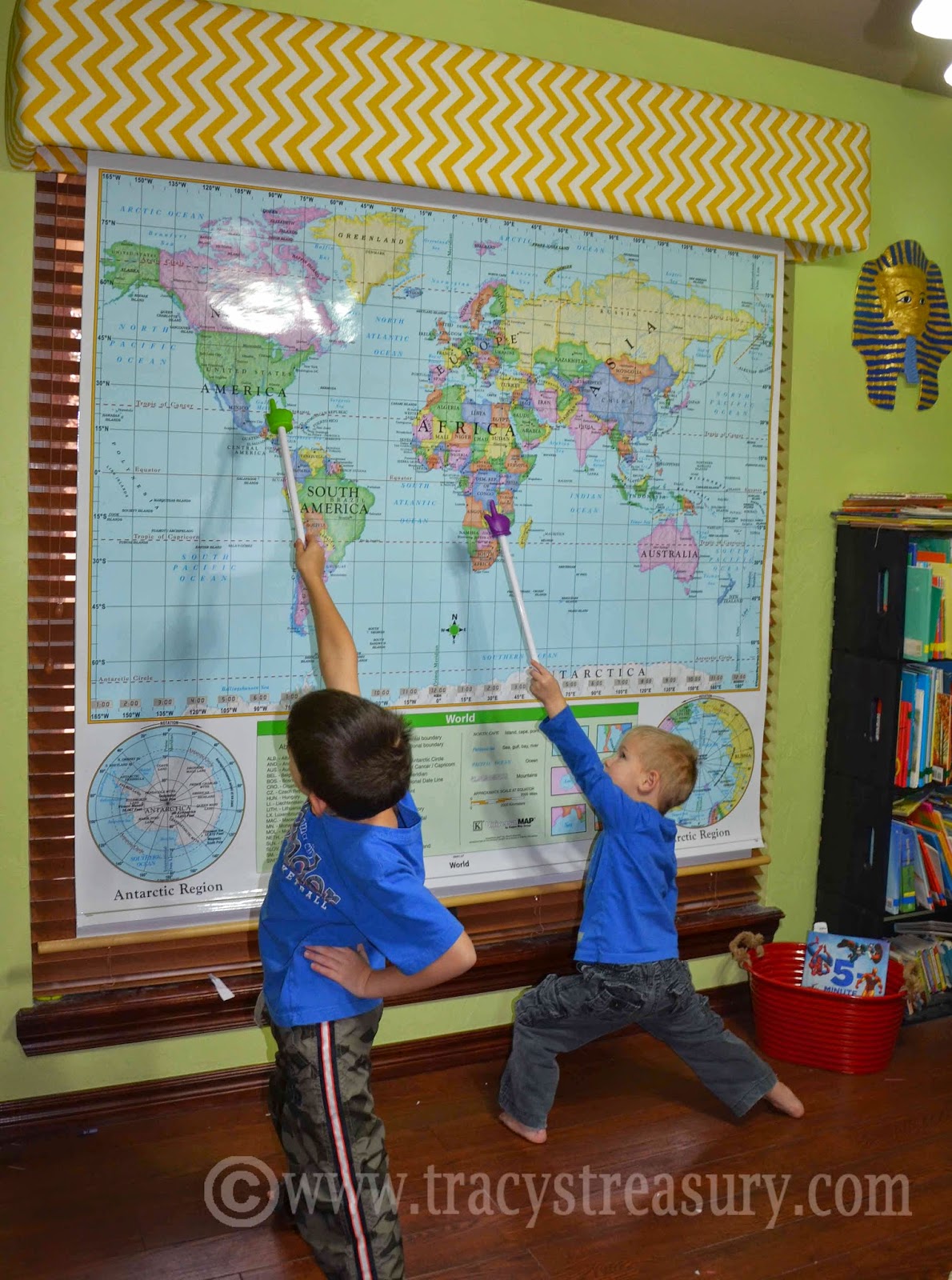
Over the school last year, we've been using Visualize World Geography, which is really unique program that utilizes pictography to help you mentally map and memorize all the countries in the world. You know how you can always find Italy because it looks like a boot? Well, this program has pictographs for every country in the world, and you learn them by watching a video for about 10 minutes per lesson. The official site has more info, video samples and testimonials for you to get a better grasp of the program. We saw it at our home school convention and loved it. Kindergarteners have used it. College students have used it. It is for anyone of any age who wants to memorize every country's location. Older students may take the entire course (learning every country in the world) in a year, but since we are using it at elementary level we only did the 20 lessons over Africa this year, with review days in-between. Another year we'll use it to learn countries in the Middle East. It's flexible like that. I will warn you that it is not cheap. But... we will be using this for all our kids over the course of many years.

So after using it this year, here's my take on it...
The good:
The not-as-good:
The good:
- The kids like it!
- It works!
- It's doable.
- You can use it with all your kids together, regardless of age.
The not-as-good:
- The DVD's are not professionally made. The actors are high schoolers and the video quality is, well, not exactly fabulous.
- I think it is considerably over-priced, considering the video quality. If the videos were professional then their price point may be more appropriate. You're basically paying for the concept of it more than the actual execution.
The way we've used it so far is learning the countries in one continent, over the course of a year. To turn it into a social studies course, I added in the appropriate chapters (about whichever country we were learning) from Material World and What the World Eats by Peter Menzel. (I highly recommend using these two books along with ANY geography program! Read more about them in this post!) The combination of Visualize and the two Peter Menzel books made for a really great Geography and Social Studies course.
My only beef with this program is the price but since we've already purchased it then that is behind us. I'm glad we purchased this program because my kids are learning to locate the countries. Just from casually joining in when he feels like it, my three year old can locate more countries now than I could locate in college! That says a lot. My kids aren't old enough to be horrified by the video quality (or lack thereof), but they ARE learning their countries happily and painlessly and that is worth a LOT!
My only beef with this program is the price but since we've already purchased it then that is behind us. I'm glad we purchased this program because my kids are learning to locate the countries. Just from casually joining in when he feels like it, my three year old can locate more countries now than I could locate in college! That says a lot. My kids aren't old enough to be horrified by the video quality (or lack thereof), but they ARE learning their countries happily and painlessly and that is worth a LOT!